Regional Climate Hazard Modeling
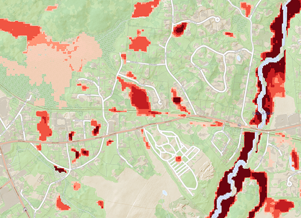
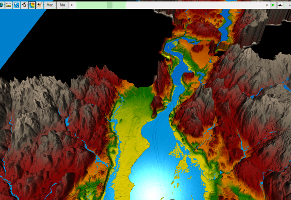
BSC has worked to develop an approach to regional/state-scale modeling that provides full geographic coverage, including rural areas, and can be customized using local geospatial data, precipitation projections, and return periods. We capture a greater extent of flood-prone areas, compared to FEMA maps, by incorporating forward-looking precipitation data, including lower order streams that other maps might omit, and model multiple design storms leading to a nuanced inundation pattern, especially in areas surrounding minor rivers.

Hydrologic & Hydraulic Modeling for Design
BSC has extensive experience performing hydrologic & hydraulic modeling of riverine settings throughout New England in support of culvert and bridge replacement projects. BSC utilizes the latest modeling software, including ArcGIS, HEC-RAS, HY-8, and HydroCAD, to analyze the project site and design resilient structures.

BSC Modeling Software and Infrastructure
Although flood modeling involves significant judgement and orchestration on the part of experienced and highly trained modelers/experts, there are many aspects of the modeling pipeline that are routine and very time-consuming. In addition, the modeling process is highly iterative and new information such as new drainage and impounding structures like culverts and dams often needs to be added to the models after base models are created.
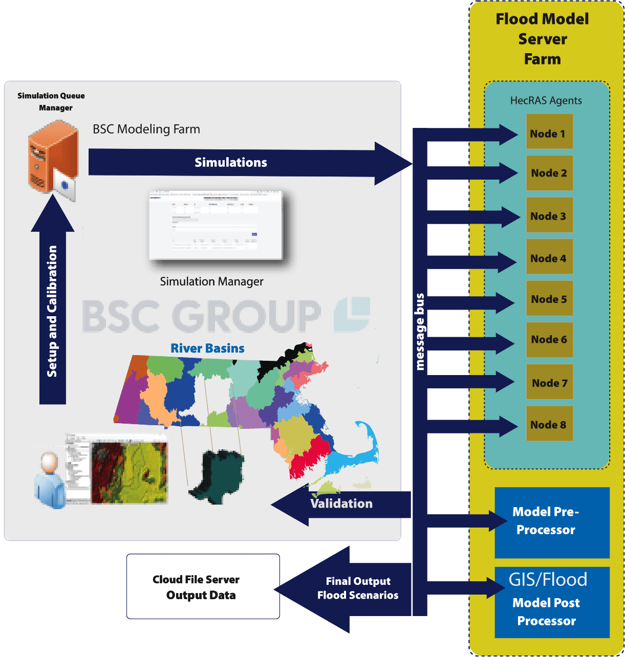
Modeling large areas such as states or regions requires significant computational resources. In order to perform modeling at this scale and in a cost-effective and timely manner, a fully automated data processing pipeline has been developed by BSC to streamline many labor-intensive functions, such as input data preprocessing, automated simulation queueing, and processing.
BSC has developed a proprietary flood modeling processing server farm that allows simultaneous simulation processes to be run without human interaction. The system utilizes a variety of plugins that allow interoperability with various modeling packages and environments.
To ensure consistent and reliable output data, the system interfaces with GIS data and remote sensing data to automate and standardize many time-consuming and error-prone tasks.


Kathryn Eagan, PE, Transportation Project Manager
Kathryn’s portfolio of transportation projects includes roadway, bridges/culverts, parking lots, and shared-use path facilities. These projects have involved stormwater and drainage system design, hydrologic and hydraulic modeling and design, grading and utilities design, and accessibility design.
Contact Kathryn at keagan@bscgroup.com.

Katie Kemen, MBA, Director of Climate Resilience Services
Katie brings experience in the field of emergency management and business continuity to support clients’ physical and operational resilience needs. She draws upon academic training in public health and business administration to drive climate solutions that are socially just and fiscally responsible.
Contact Katie at kkemen@bscgroup.com.

Matthew von Wahlde, Custom Software Services Leader
Matt’s diverse professional background combines environmental science and information technology with GIS design and implementation. He specializes in transportation industry enterprise management systems and supporting data models. Matt has applied this expertise to a variety of project types, including support for natural resource management, statewide accessibility improvements, and dam safety monitoring.
Contact Matthew at mvwahlde@geonetics.com.

Nahad Helmi, Water Resources Engineer/Product Developer
Dr. Nahad Helmi pioneers H&H modeling, AI, and geospatial analytics to advance water resource stewardship and climate resilience. At BSC, he drives innovation in automation, water resources modeling, and climate adaptation, bridging technology and sustainability for smarter decision-making.
Contact Nahad at nhelmi@geonetics.com.

